Excavation
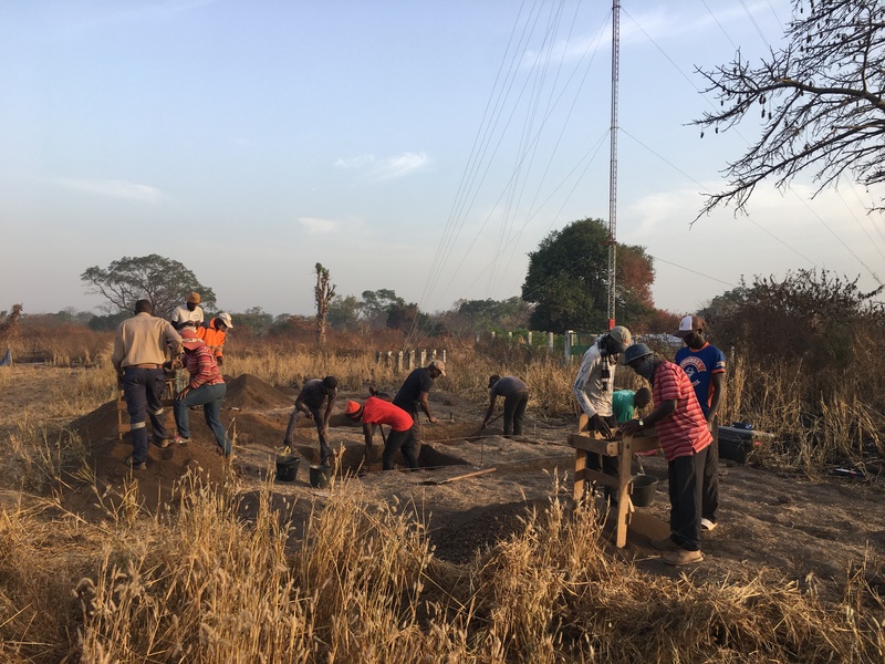
The BRAP field crew excavating at the historical site of Itato Tata (BRAP-603)
How did past village communities develop and endure over time? We answer this question by excavating settlement sites to compare finds from upper (younger) layers of soil with those from lower (older) ones. Working in rectangular units measuring 1-4 m2, we dig carefully with shovels, trowels, and brushes, sifting for artifacts and uncovering features in each level of sediment (5-10 cm). We also collect samples of soil to retrieve fine plant remains. Once we reach a level with no further traces of human activity, we stop to record the soil layers and then backfill the excavation unit to minimize our impact on the local landscape.
To date, we have excavated 103 m2 across eight sites associated with different ethnic groups and time periods across the study area. Drawing on the results of our surface archaeology, including shovel-test pits (STPs), our units focused on areas with the deepest sediments and/or richest artifact deposits—possible middens for rubbish disposal—and comparison between two or three houses and/or activity areas at each site. As a result, we have now recovered more than 30,000 artifacts (mostly pottery sherds) attesting to local and regional patterns of domestic life, craft production, and long-distance trade. Importantly, some of these artifacts can help to provide us with calendar dates for the soil layers exposed at each site.
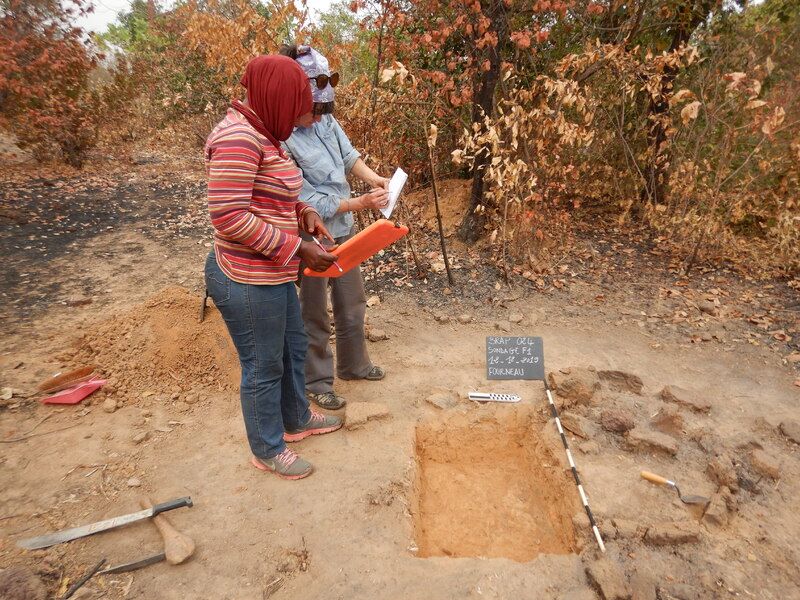
Fatou Diedhiou and Dana Drake Rosenstein prepare to photograph a test excavation unit into a blacksmithing furnace near the site of Itato Tata (BRAP-603)
Kèlètigui Doukouré (left) and René Faye (right) draw a profile diagram to document the layers of soil fond at Itato Tata (BRAP-603)
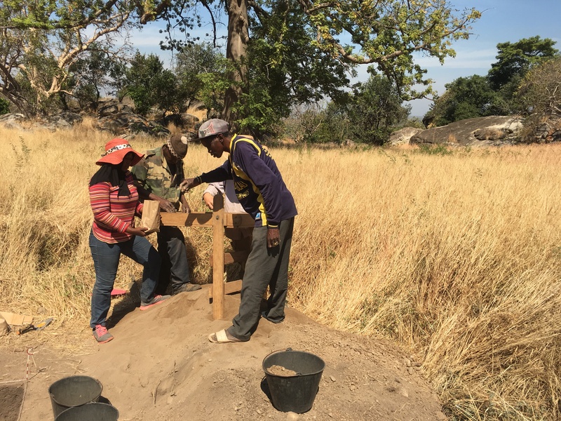
Fatou Diedhiou (left) and Jean-Pierre Camara (right) screening for artifacts at the historical site of Andiel (BRAP-001)
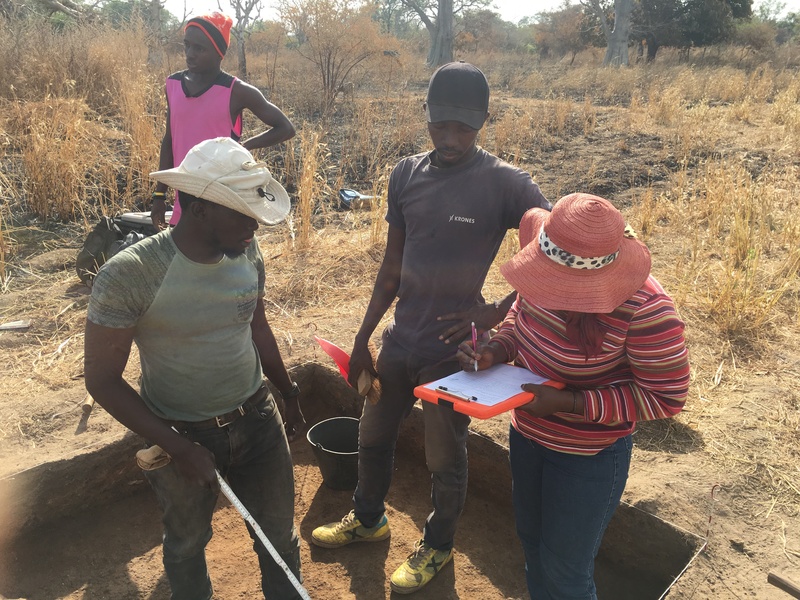
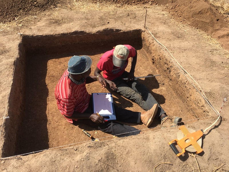
Fode Diakho supervises note-taking in the course of excavations at Itato Tata (BRAP-603)