Mapping
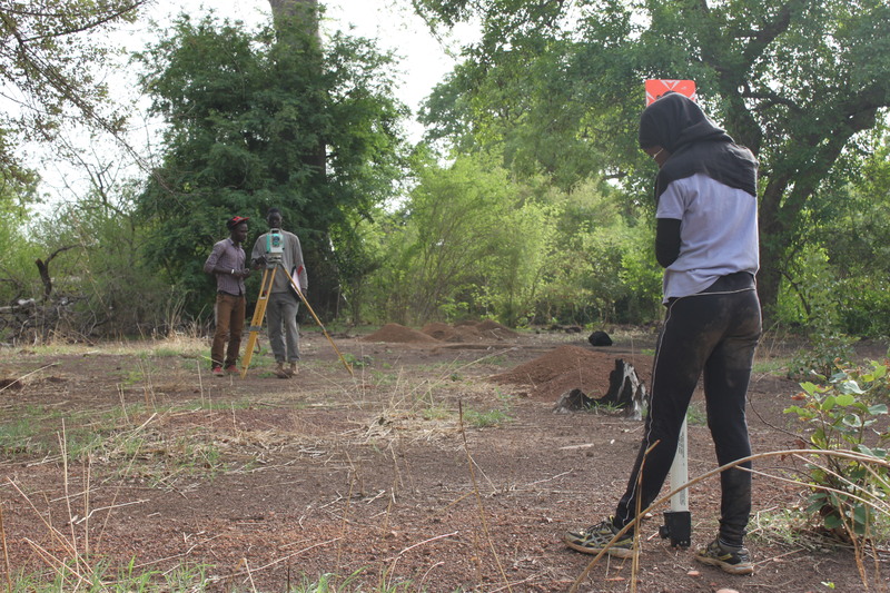
IFAN-UCAD students Cheikh Diop, Mamadou Guilé Diouf, and Coumba Dabo (left to right) use a Nikon digital total station to map the site of Heramakonon
How did past villagers organize their houses and public spaces? Archaeological sites in the Upper Gambia region are often shallow (< 30 cm deep), so surface artifacts and architectural features can potentially reveal the spatial (and social) layout of past communities—including their houses, pathways, rubbish heaps, craft workshops, religious rituals, and so forth. By defining and comparing these areas, we aim to understand the different activities, and perhaps identities, of the people who made and used them.
We employ several methods for mapping surface (and near-surface) artifacts and architecture across settlement sites in our study area. For sites with well-preserved walls or hut foundations, we use a digital total station or high-precision GPS to record the locations and sizes of these important features.
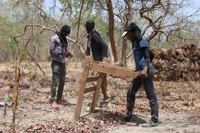
We have also experimented with magnetic susceptibility survey (“MagSus”) to detect differences in near-surface soil magnetism resulting from cooking fires and other human activities. Although this method has allowed us to identify possible houses at three sites in our study area, we still need to confirm these findings with future excavations. For this reason, we also dug a series of shovel-test pits (STPs) across six settlement sites to locate areas with soil layers best-suited for excavation. By sifting the artifacts from these STPs, which are less than 30 cm deep, this also enabled us to further map out activities across these sites.

IFAN-UCAD students Lamine Badji (left) and Ibrahima Sy (right) use a Bartington MagSus meter to measure the magnetic susceptibility across the site BRAP-134.
IFAN-UCAD students Cheikh Diop, Mamadou Guilé Diouf, and Coumba Dabo (left to right) excavate a shovel-test pit (STP) at the site of Yoro Moussou.
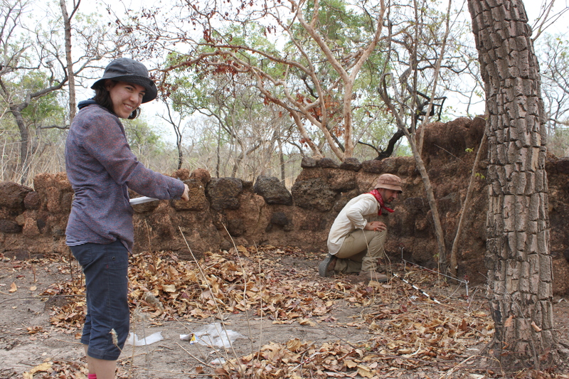
Camille Machiels (left) and Matt Kroot (right) document the fortification wall at Yoro Moussou.