Survey
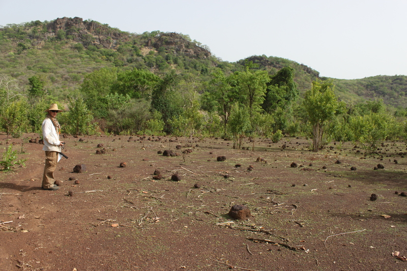
Cameron Gokee demonstrates pedestrian survey across a laterite plain below the Bandafassi Plateau
How did past villages relate to the social and physical landscape of Upper Gambia? We address this question through survey to locate and describe the diverse archaeological sites associated with these communities. First, we select a sample of 1-x-1-km zones covering different natural features, from the uplands of the Bandafassi Plateau to the banks of the Gambia River. Then, during the dry season from January to May, we walk in parallel lines across these zones to identify sites visible on the ground as old architectural features and/or artifacts. For each site, we record its size and location (GPS), take detailed notes and photos, and collect artifacts that can potentially tell us what past people were doing there, and when.
Since 2016, we have surveyed nearly 46 km2 in a study area centered on the villages of Ethiowar and Itato, leading to the discovery of 334 archaeological sites. These are mostly scatters of chipped stone debris made by prehistoric hunter-gatherers or concentrations of pottery sherds and laterite rocks marking pastoral camps and farming settlements over the past two thousand years.
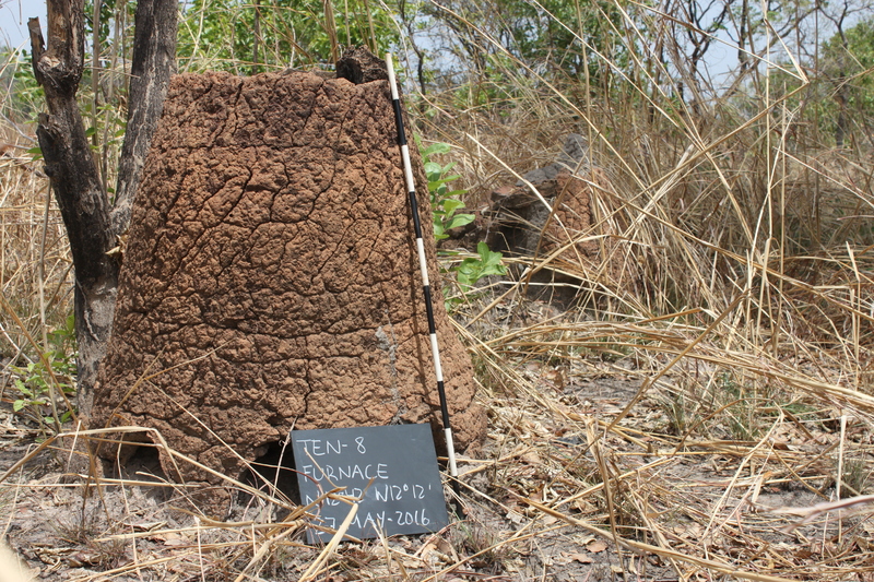
An iron-smelting furnace near the ancestral Malinke site of Djikoye
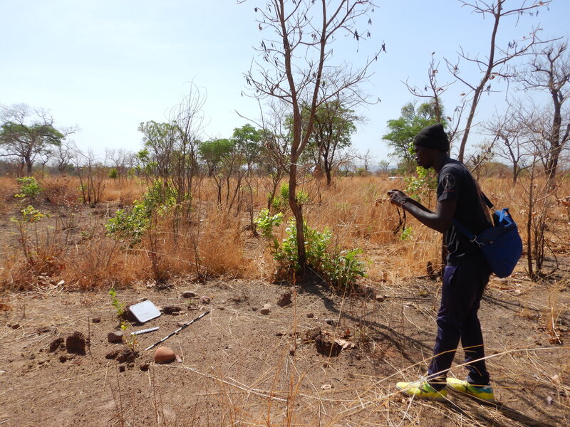
Archaeology student Serigne Modou Cissé photographs a surface feature discovered during survey
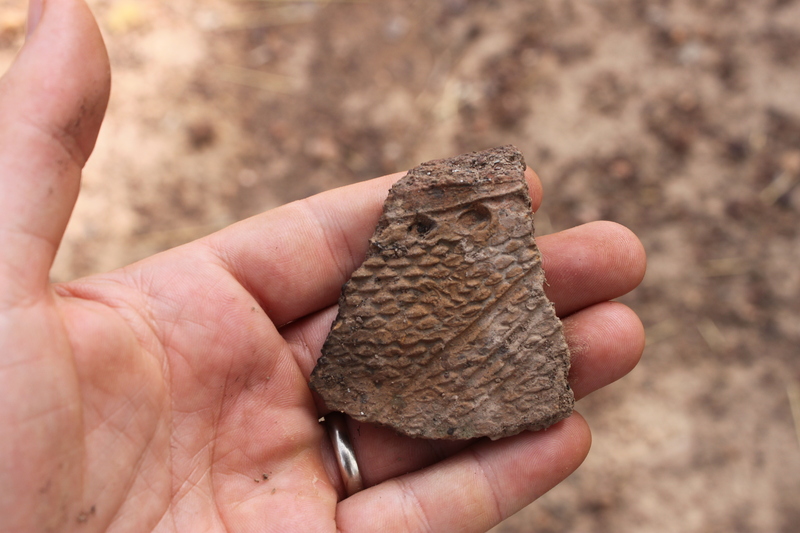
A diagnostic pottery sherd collected from a site near the Bandafassi Plateau
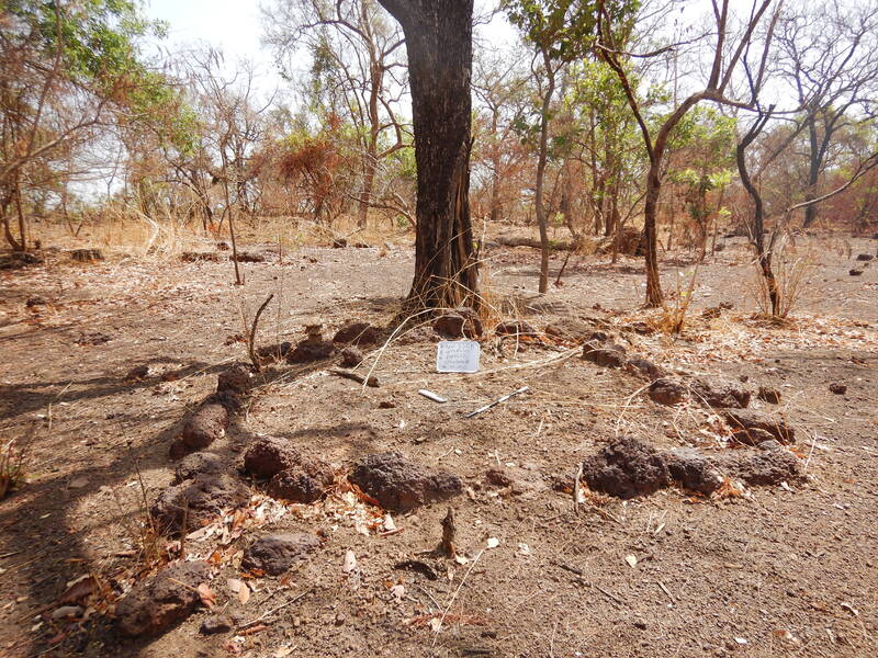
A laterite circle (possible granary foundation) at the site of BRAP-550B